The Beast of Ballyhoura – Beaten by the elements
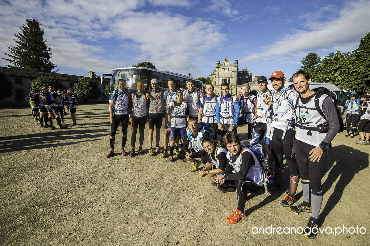
Preparation for this year’s began more than year earlier – knowing that Beast of Ballyhoura was chosen as ARES finals for 2015, we decided to come for last year’s Beast [2014] in order to see what is the race like, what it takes to race in Ireland, maps, weather, beer, driving on the left, etc. It is always an advantage to know something about the race. We did well, have learned o lot of things and as a bonus we came away with a win. So far so good. We we happy, but did not overestimate it as we knew, that competition at ARES finals would be much bigger. And it was – the field was deeper than on most ARWS events. Due to the win there was bit more focus on us, but with so fierce competition the spotlight was reserved for other teams and it allowed us still to go under the radar.
We came to Ireland few days earlier, did some trekking and biking on South-West peninsulas, climbed highest mountain of Ireland and in general fine-tuned ourselves back to the Beast mode. As soon as we got the race maps we realized that the race is much more complicated. The race was a points race with CPs ranging from 20 point a piece up to 1000 point CPs (almost mandatory). There were also some all-or-nothing sections, where you had to punch all CPs on that section in order to score some points. This included mostly short orienteering, but also one longer bike-kayak-bike loop totalling 70km. We also realized that we are not able get all CPs and were almost sure that no team is capable taking all of them. We did the homework a came with very simple tactic:
From the beginning we will take all CPs, skip some CPs on the first trekking, continue in piling points for all other CPs and see where it will put is on second trekking – how much we need to skip.
Another tricky part were the Ballyhoura bike trails – it was the last stage before final 12k run to the finish line. There seemed to be a lot of points available, but only if the team could ride the longest 56km loop. This made the bike trails very appealing, but also very risky business – it was clear that the stage would take place during night time and riding on technical trail on a third night into a race may result in some unwanted stunts and average speed can be hard to predict.
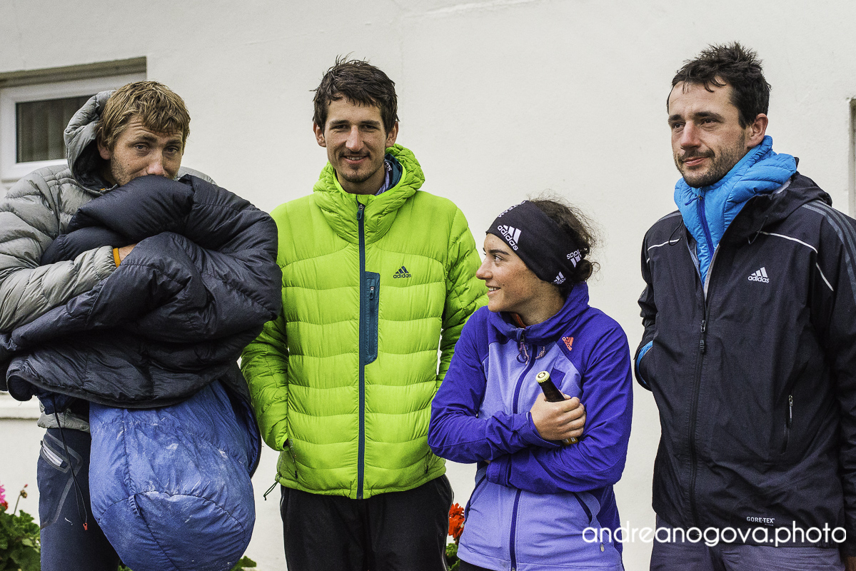
[Photos by Andrea Nogová – andreanogova.photo]
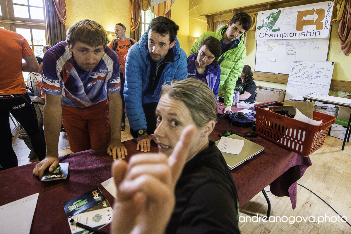
Lady at registration seems to be serious.
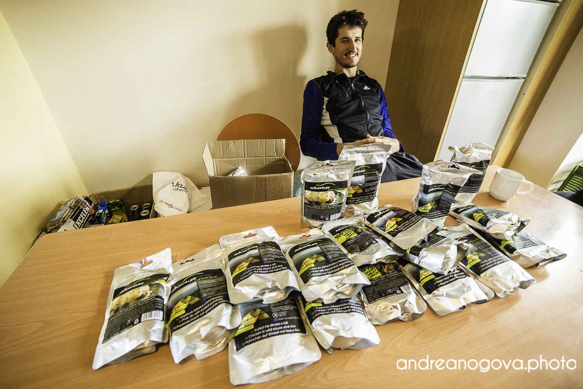
Race food

Mapworks
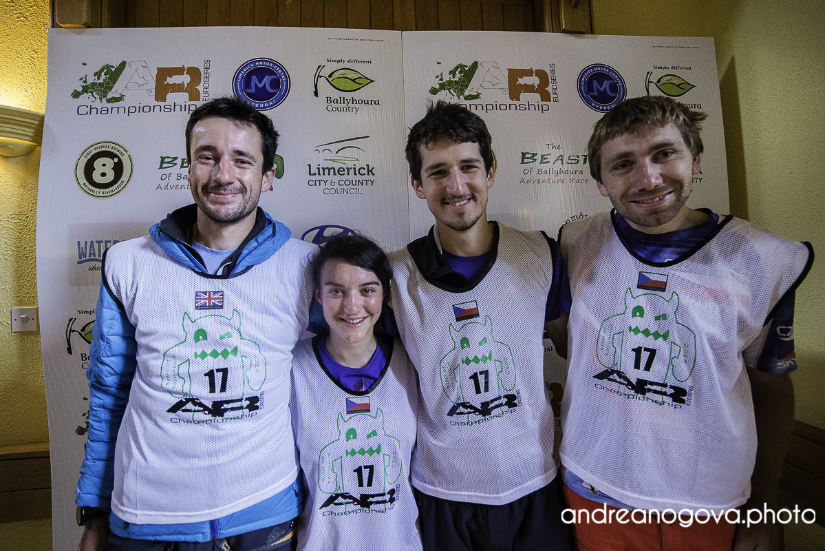
4 Czech teams
All in all when getting closer to the finish, there was more and more points available which meant right decisions would be increasingly important and the race would be interesting to last moment, this what everybody wants. We had our plan, everything was prepared and we felt ready. Finaly the race started.
On the initial 20k trail run we set decent but economical pace, not cook us from the beginning, this put us somewhere around 4th-5th. We transitioned swiftly to kayaks and coming to city orienteering had only a small gap on teams ahead of us. Another fast transition and sustained effort meant with caught up with Danish team Yeti and currently paddled in 3rd place. We were quite surprised of this to happen, because we are not strong paddlers and a catching Danish does not happen very often 🙂 At K4 bunch including Polish, French and Irish team caught us. But all of us were caught by high tide and paddling our way against the tide became more and more tiring. When we were just one km away from K5 (at that time at the end of the bunch), we were caught by a coast guard motor boat passing teams one after another and instructing them to go directly to transition. We were wondering how this is going to be rectified as each team was instructed at different time and different place, some teams did not even set for this CP and were shortcoursed right away. But soon we switched our focus back on our race and tried to get to TA as soon as possible. We were here trailing around 2 and half hours on our plan.
Lets go to the city

There at the bridge we are getting maps.
Let’s kick some teams
Done.
Done.
I take everything!
I told you – everything.
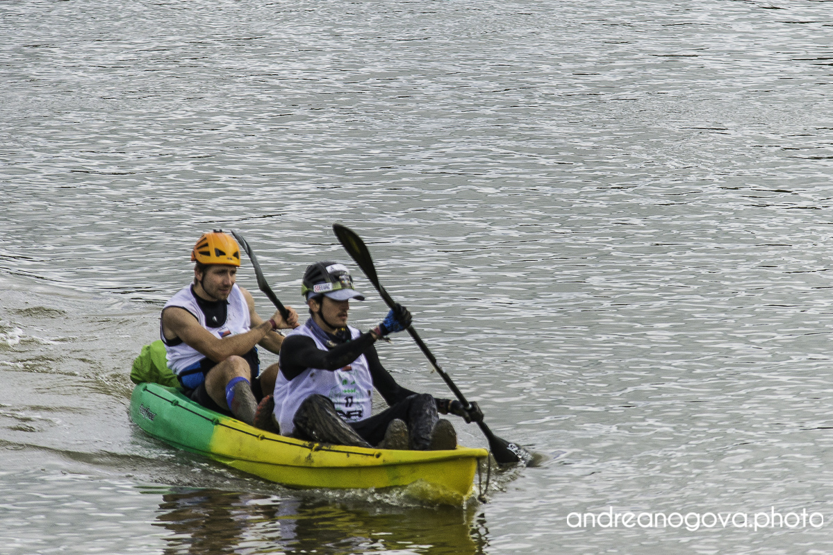
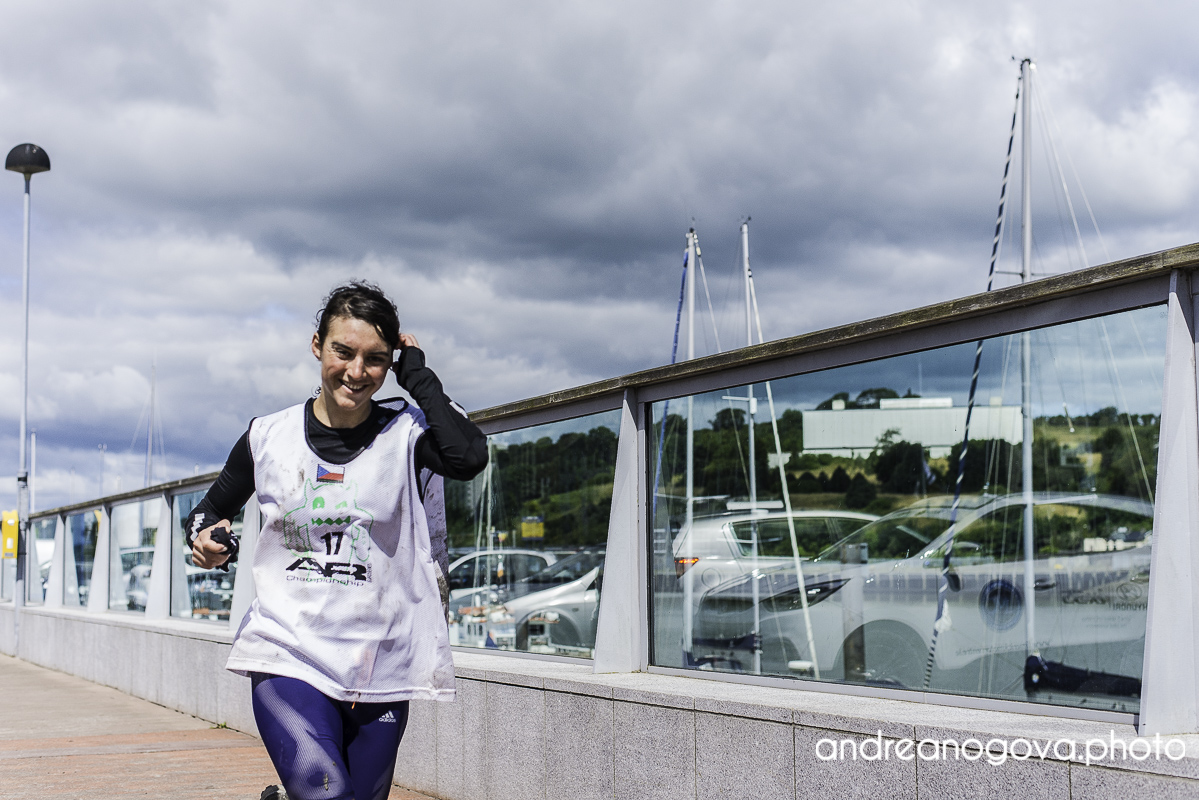
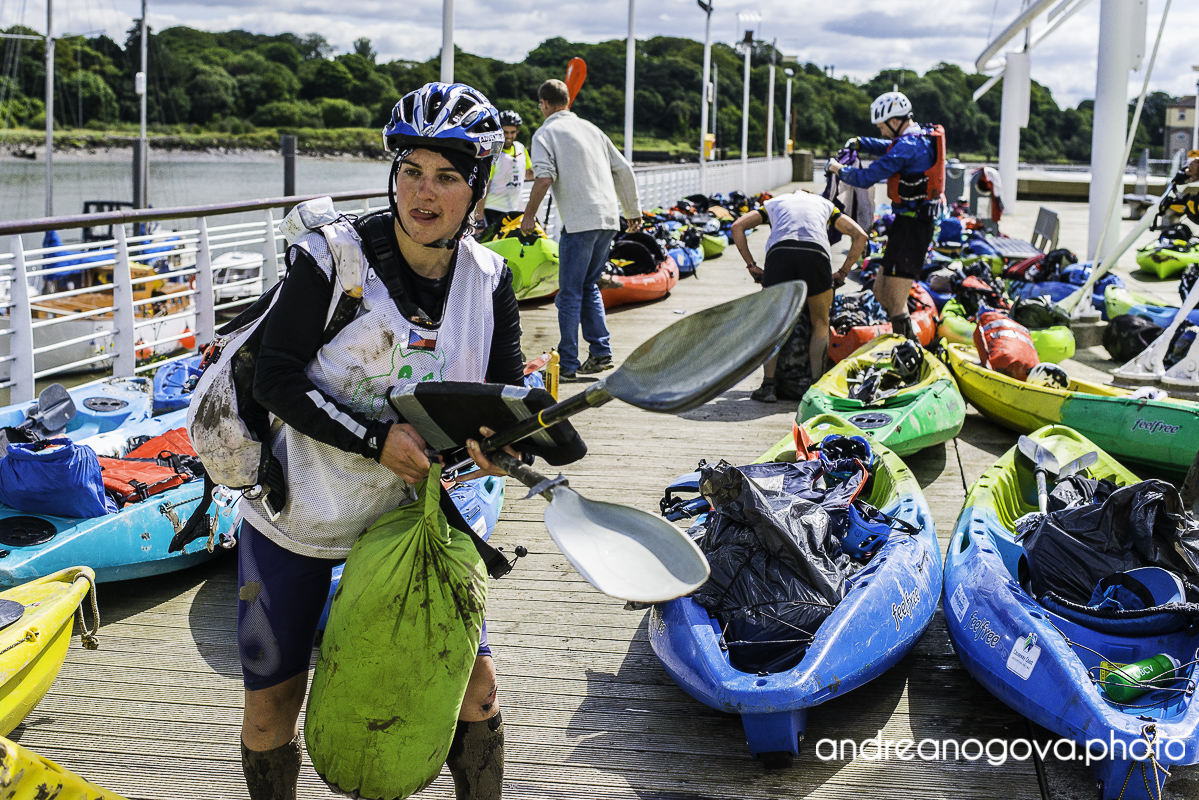
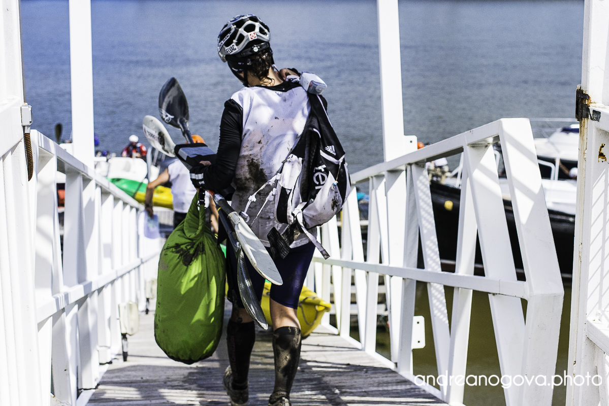
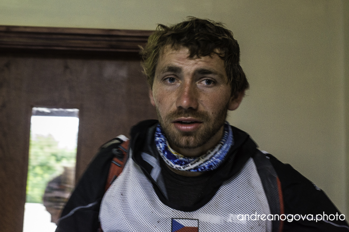
After almost 8 hours of paddling altogether we finally reached the TA. Bit disappointed that we lost our advantage by this twist of events, me and Filip with severe tendonitis in our wrist, bit bored by the monotony of the paddling, but overall happy that paddling is over and satisfied with our performance because we do not consider paddling to be our strong point, we covered coasteering section and finally set off on our bikes.
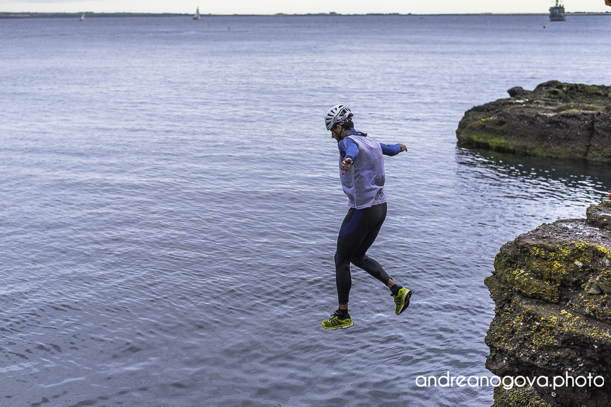
Coasteering
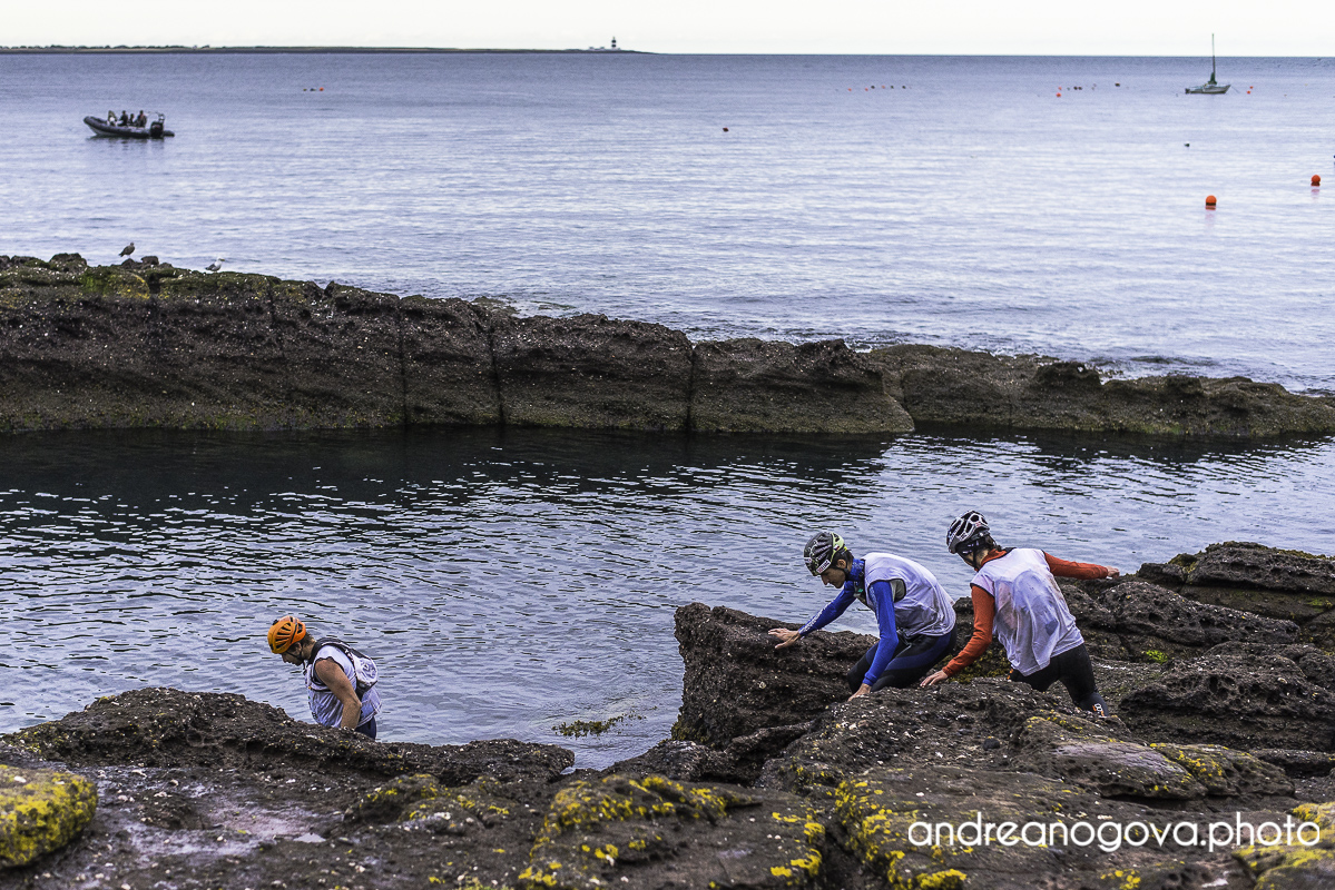
Coasteering
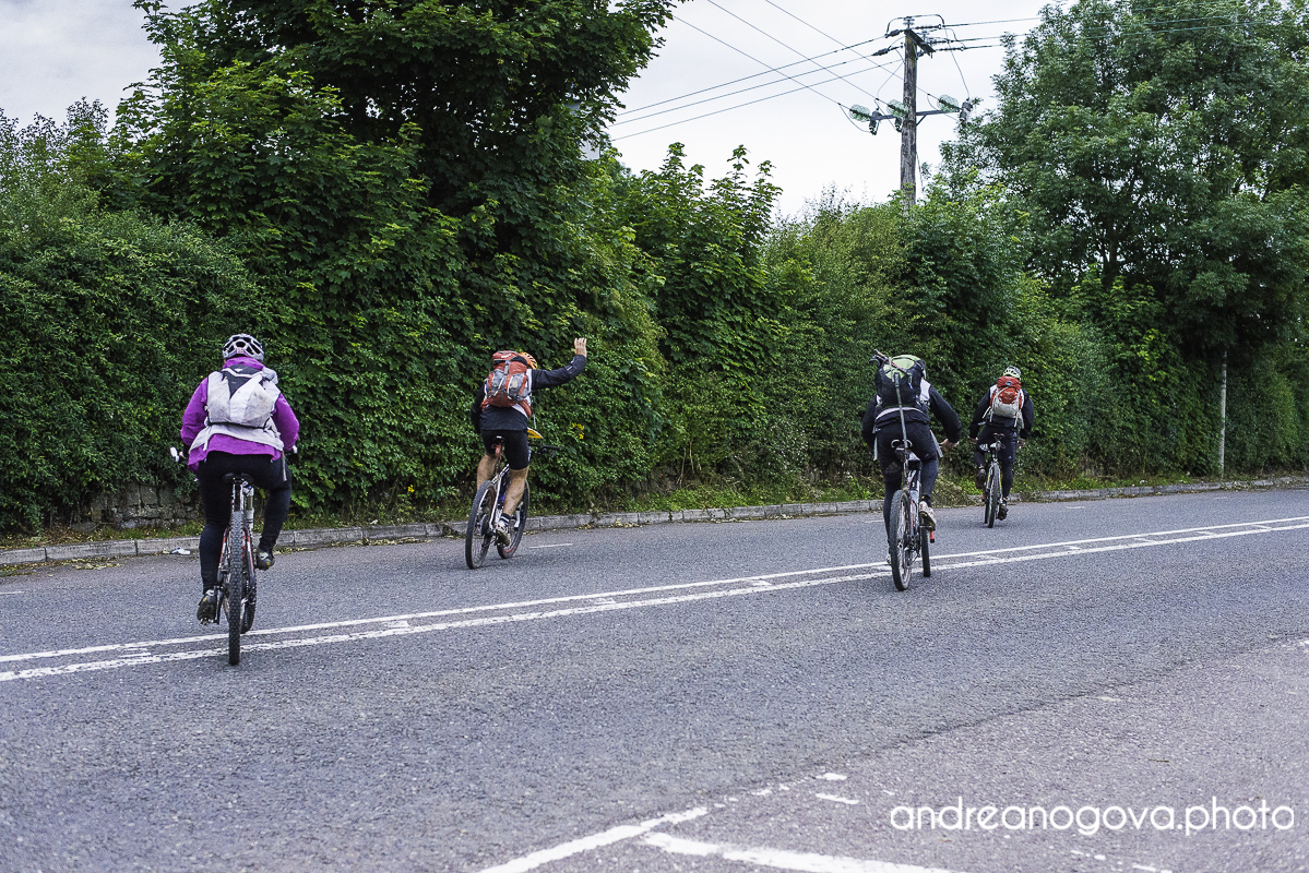
We were going smoothly as the course went mostly on paved roads, tackled the orienteering in the dunes and were passing one team after another. So far we have not skipped any CP and when we reached the ropes section we were cheered up by race marshals to hurry up, because the ropes would close soon. That was strange as Ivan Park [race organizer] told at the briefing that were no limits, deadlines, darkzones or time barriers except 72 hours for the finish line. Well, things may change as we learned along the course. We abseiled, went over The Gap pass and some time in the morning we were on our feet and trekking in Monavullagh Mountains.
With steep cliffs, sharp relief and a lot of sleep slopes covered with ferns and boulders and/or other thorny bushes, the trekking proved to be as difficult as expected. So we left all “in-case-we-have-more-time” scenarios and focused only on the necessary CPs worth 1000 points each [in fact all teams, except leading Adidas Terrex, did this]. At 22:30 we were back at TA. We had covered around half of the race so we decided to bank some sleep and hit the sack for an hour.

1st trekking
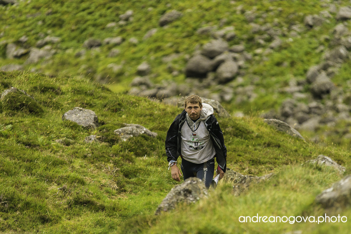
1st trekking
1st trekking
1st trekking
Loop after loop
Few minutes after midnight we were out from TA and heading for MTB-kayak-MTB loop, which we estimated 8 hours. The paddling seemed to be much longer than expected, we were all cold and were very happy when we punched 38B. We were not only happy, but surprised and the surprise was twofold. First – that the kayaking stage ended there in contrary to roadbook, it should have ended more than 10km further down the stream. And we were even more surprised when the lone race marshal told us that we were only the third team to go through that point. This all-or-nothing stage was worth 1200 points and only three teams did it. And up to this point we have skipped CPs worth much less than that [600]. This meant that in the absolutely worst case we were in 3rd position! Wooo!
This provided a real boost to our morale and we easily fended off sleep deprivation. And in 9 hours we were back at the TA. [We had expected 8, without transitions, so it all went according to our estimations]. We passed the transition and started what seemed to be the toughest bike section – just 80km, but most of it outside paved roads. We were the last team to leave the TA, but we were confident in our plan. We greeted with Ivan a to our surprise – another CP was cancelled some time ago, so were instructed to use a different route. We were wondering how this will be rectified and also more importantly – when we will know the decision. In race like this, where correct timing is key, if you receive a penalty/credit or any time compensation, you need to know it as soon as possible to adjust the plan.
The different route was bit shorter but in no way easier – we got an area where the mapmaker had probably had some rest and handed the map to his kids to draw something. Here we became sure of what we had only suspected – the map was shit. But for most of the time it did not matter, because we were on paved roads. And teams going early to take CP39 and skipping some other bike CPs off road [which was most teams], probably did not even notice. Luckily we made our way through without losing precious time and were steadily piling points. Soon we faced one more important decision – either go for 3 bike CPs worth 600 points to mountains or ride directly to TA and save time for the final bike trails. Bike trails at the end of the race seemed very hard to estimate, 600 points was a lot, so we went these CPs.
Probably another good decision, it took us some time but not excessively much and 600 points ain’t for free. So we punched them, coped with the shitty map and at 20:30 we have reached TA 11/12. We took everything we needed for the last trekking as we bolted through the transition in order to use last remnants of daylight. We had 12 hours to cover 4CPs on trekking [most teams took around 6 hours], 33 km bike ride on flat roads and 12km trail run. This was perfectly manageble and not only this – it also left us some buffer for possible issues and/or extra points on trails and/or orienteering.
This was exactly the position, where we wanted to be in. Unnoticed, going under the radar, avoiding troubles and navigational errors, ready to appear out of nowhere. At the bike drop we met a spanish team – the last one to leave the mountains. So now it was just us on a mission in Galtee Mountains.
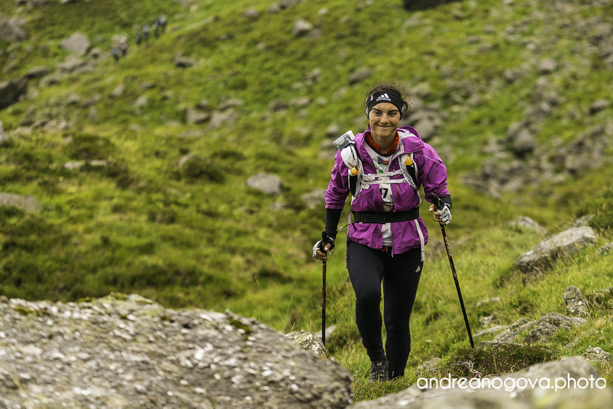
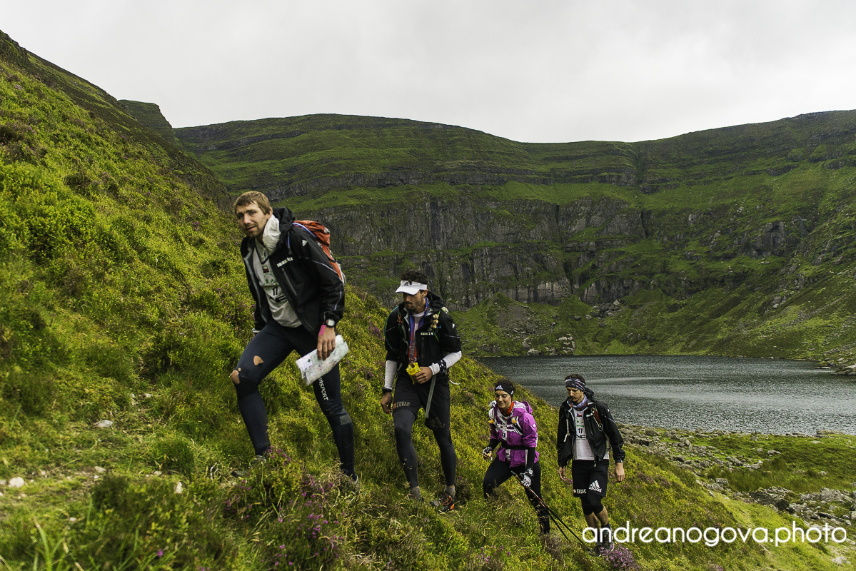
Let’s go for 2nd trekking!
Let’s go for 2nd trekking!
Let’s go for 2nd trekking!
Let’s go for 2nd trekking!
See you later…
Galtee Mountains – Beaten by the elements
Navigation was easy, all we needed to do was to follow main ridges, reach the highest point and follow other ridges to get back to the TA. Soon the darkness has fallen and by the time we punched first CP, it was rainnig heavily and fog was getting thicker and thicker. We were ascending steadily over soaking wet grassy slopes. Some of us were alert, some of us were fighting with sleepmonsters, but we all were aware what our mission was.
Finally we have reached the peak of Carrignabinnia at arround 800m and suddenly were hit by strong winds. It was around midnight, visibility was low, wind was strong and navigation had to be sharp. It was important to follow a ridge to the east and descend to Slievecushnabinnia. Descending a ridge is always tricky, but this time, it was everything. Wind was getting stronger and we were having troubles standing still. In these conditions, failure was not an option. Staying on the ridge was matter of staying OK or going into some serious troubles. I could feel the pressure, checking compass every few seconds, looking into the fog and trying resolve the shape of the slope not to go down from the flat ridge. We were moving the right direction and found a stone wall going our direction. Perfect. The wall provided us cover from the galing wind and lead us further our direction.. until it turned north.
What shall we do now? It is just 2 km to the CP on top of Galtymore Mountain, but how are we going get there if cannot stand in the wind? We put survival blankets under our clothes to get some extra heat and headed for the exposed ridge. After few vain tries we had a discussion on what to do, when the howling wind was stealing words from our mouths. Reluctantly, we had to admit that this time weather is stronger than us – Filip was on the verge of hypothermia and we could not stand still in the wind. We changed the mission objective from “get the CPs” to “get home safely”. Suddenly, once in these conditions all systems and senses were totally alert, regardless how much we have [not] had. It is amazing what human body is capable of when pressed against the wall.
Along the way to bike drop we punched one more CP and seamlessly transitioned to our bikes and rode back to TA11/12. Even without those two 1000-point CPs, we could technically finish the race – reach the finish line some time after deadline with huge penalty, but the race in our heads ended up there in the mountains. Ironically, after returning to almost empty TA11/12, the only information we got was that we had to take our bags and wait with them outside. Not a greeting I would expect after just returning from this kind of conditions. Not surprisingly we responded to this requirement by falling asleep.
Not a preferred way to end a race.
This race was kinda bitter for us. We prepared meticulously, we were pushing hard from start to the end, our navigation was smooth without any major errors, we made sound decisions and even with so many changes made by the organizers, we managed to continue unaffected. But all this together was still not enough. We have not beaten ourselves, we were not beaten by organizer’s decision but we were beaten by the elements, weather and nature – things that are integral part of adventure racing. All those sayings such as “anything can happen in adventure racing” or that “you have not finished until you are standing at the finish line”. They all have proved true. For us the race had everything – excitement, surprise and also disappointment. For the future, we are staying positive – for 60 hours we competing with much more acclaimed teams and for last 12 hours we were losing a battle with weather – battle, you can never win.
Afterthoughts on AREC:
With three editions of AREC in points race format in a row [Timex Winter Raid in Poland 2013, Lycian Challenge in Turkey 2014, Beast of Ballyhoura in Ireland 2015] and forth one to come [Raid Aran in Spain 2016] I feel that AR has taken several steps backwards. I understand that this system is easy for organizers – they can get rid of the responsibility to design the course adequately, to set reasonable deadlines. But the price for this is high. And it is not paid by them, but by the racers and fans.
Poorly designed course in Poland resulted in all teams not making cut-offs [which was not expected], so rules for that were not in place and were changed retrospectively. Miscalculation of number of teams in Turkey resulted in many teams not having kayaks available for kayak section. This year there was no big organization mistake, however a too many smaller adjustments done on the fly [Now, week after the race, full results still are not available]. AR is taking place in changing environment, sometimes changes are inevitable [especially when ocean, mountain or other interesting terrain are involved]. However – when physical position on the course does not correspond with race ranking these changes impact teams randomly.
There are some advantages of the points race of course – all racers get to finish line at more or less same time, marshals at race discicplines can be only at certain time windows etc. and other advantages – for organizers. And again this happens at the expense of the teams. With this kind of scoring, the racing aspect is supressed. With leaderboard or tracking virtually non-existent at the TAs, teams do not go head to head, they just confusedly looked after other teams and were wondering who was ahead and who was behind.
Let’s make it simple – linear course. If there are some cut-offs or deadlines, so be it. If there the weather changes and slower teams are shortcoursed, not the best option, but still OK. Simply let the first to reach the finish line be the winner.